White River Pollution
Early History: 1820’s-1860’s
In 1820, Indiana pioneer John McCormick and his brother James McCormick constructed a cabin along the White River in Delaware Native American territory. The White River’s west fork spans the entire width of the state, from Winchester on the eastern border, down to Mt. Carmel in the southwestern edge. The eastern fork originates in Columbus and meets the west fork in Petersburg. City commissioners believed this waterway could be navigable, which reassured city planners on their choice of the new state capital’s location, leaving Corydon for Indianapolis. The internal improvements legislation of 1836, a large-scale transportation systems creation plan, failed due to the lack of surveying, the Panic of 1837, political corruption, and the state’s approaching bankruptcy. As Indianapolis grew, it was clear that a passable waterway for boats was not feasible. Another function of the river was its role as the location of Greenlawn Cemetery, or City Cemetery, along the southwest side where the river meets the Mile Square. Used from 1821 until 1864, the cemetery overlooked the river where the Diamond Chain Company is today.
Pollution: 1900’s-1970’s
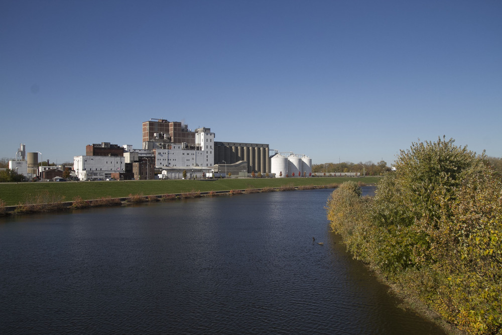
Soon after, the river became a dumping ground for industrial waste of factories and warehouses along the river, particularly from canneries, oil refineries, and meatpacking plants. Even Central State Hospital’s autopsy table drained right into the river. Massive floods plagued the river as early as 1909, causing traffic delays and flooded basements. The State Board of Health threatened a lawsuit against the city in 1912 if local officials failed to prevent the river from becoming a menace to health and property values. Floods could bring sewage into contact with the public as well as leach toxins into the river. By 1915, pollution concerns moved to the State House—Representative William C. Deck introduced a bill that demanded all cities and towns using the river for sewage disposal must install a sewage treatment center. An outdated drain off system caused the river to overflow with sewage whenever moderate rainfall occurred, a problem still persisting with the river today. In 1968, sewage plants along the river were able to remove 90% of the pollutants; however, the pollution-load steadily increased as residents along the river’s communities multiplied. Outbreaks of histoplasmosis have transpired in the river since 1978, causing flu-like symptoms for many. Studies within a few years determined that water runoff included toxins like chromium, copper, lead, mercury, zinc, PCBs and DDT downstream from 30th Street.
Clean-Up: 1980’s-2000’s
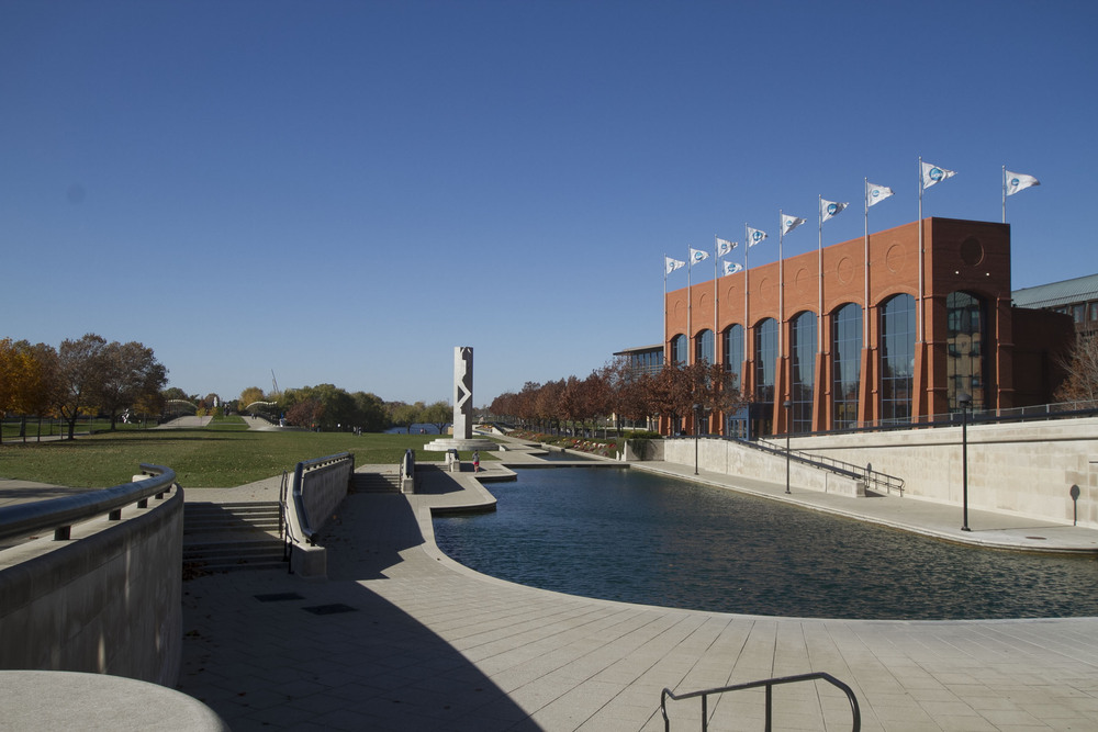
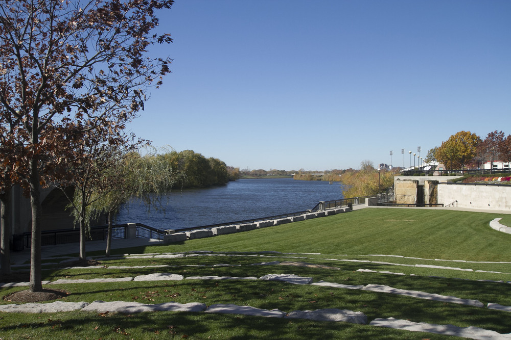
In 1983, the city finished the construction of an advanced wastewater treatment system by upgrading the secondary treatment plants. Studies following 1983 showed significant improvements in the quality of treated effluent and of the river downstream from the treatment plants. With the creation of White River State Park, the waterway saw an intense image cleanup as well. The state’s environmental study recommended species redevelopment habitats, dog and horse trails, canoe access, and a nature center, to name a few. Today, more than a million Hoosiers live within a fifteen-minute drive of its banks.
Images