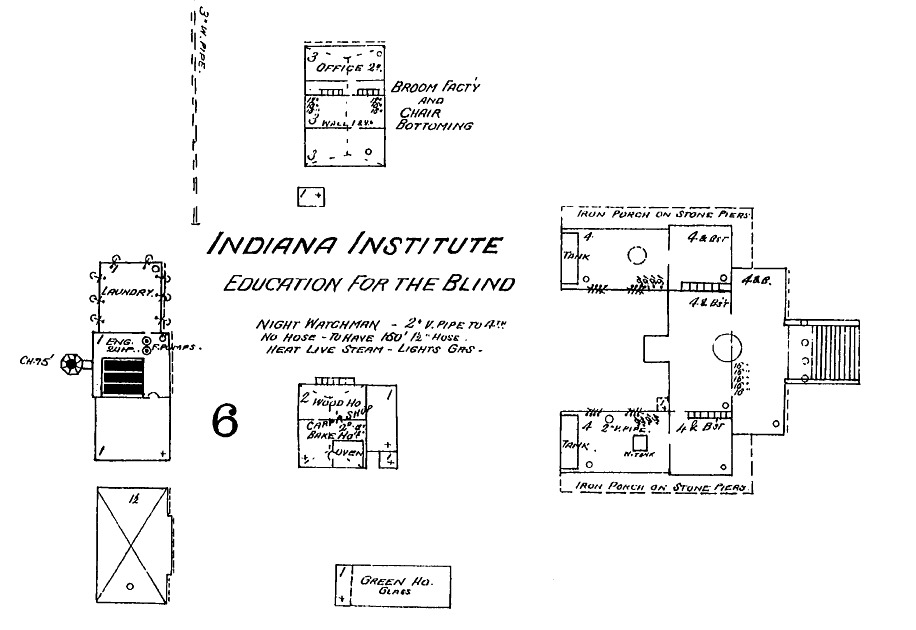
1887 Sanborn Map
This file appears in: Indiana School for the Blind
The institution expanded throughout the years, with the addition of many more buildings for industrial teaching. This map depicts the main school building, the broom and chair caning building, the laundry building, a wood shop, bakery, and greenhouse. Credit: Image courtesy of Sanborn Map Company, IUPUI Center for Digital Scholarship.
This file appears in: Indiana School for the Blind
Indiana School for the Blind
Establishment: 1847-1850
Founded in 1847 by an act of the Indiana General Assembly, the earliest School for the Blind originated in the blocks bounded by Meridian, Pennsylvania, North, and St. Clair streets. Interestingly, the call for…
