Indian Removals
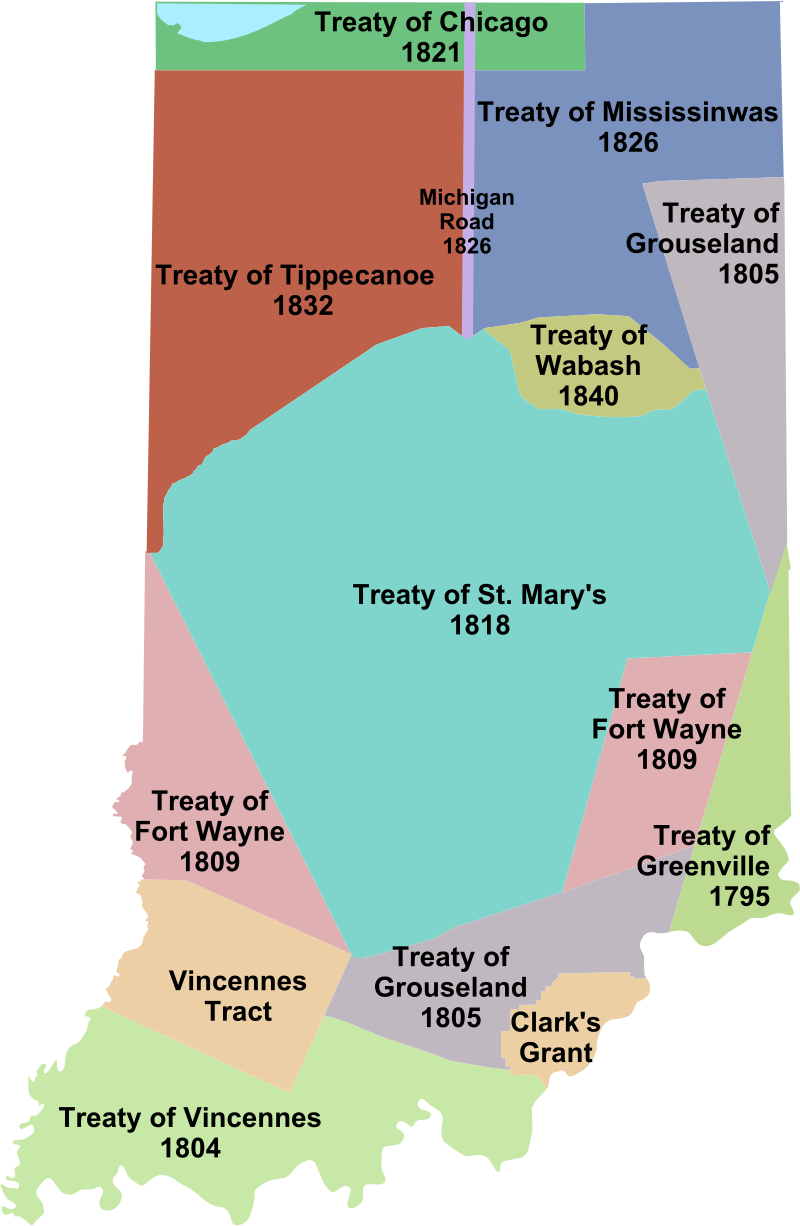
| Creator: ArnoldPlaton | Source:
Courtesy of Wikimedia Commons
This file is licensed under the Creative Commons Attribution-Share Alike 3.0 Unported license.
Courtesy of Wikimedia Commons
This file is licensed under the Creative Commons Attribution-Share Alike 3.0 Unported license.