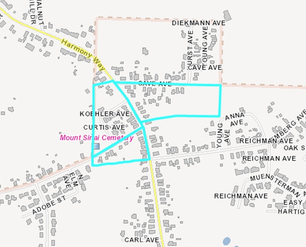
West Heights and Cave Park Map
This file appears in: Hilltop Inn
The area once called “Babytown” can be seen on this map. According to a 1976 Evansville Sunday Courier and Press article, around 1900 Babytown extended “one mile from Harmony Way at Mount Vernon Avenue, north to Cave Avenue. Originally a dirt road, Harmony Way used to be referred to as Babytown Road and the hill it traverses was called Babytown Hill.”
This file appears in: Hilltop Inn
Hilltop Inn
The Hilltop Inn, originally known as George J. Marx’s Grocery and Saloon, lies atop a hill in Perry Township in an area formerly known as Perryville. The community was established in the mid-19th Century by Colonel John Rheinlander, a veteran of…
